

Getting to the Lodge
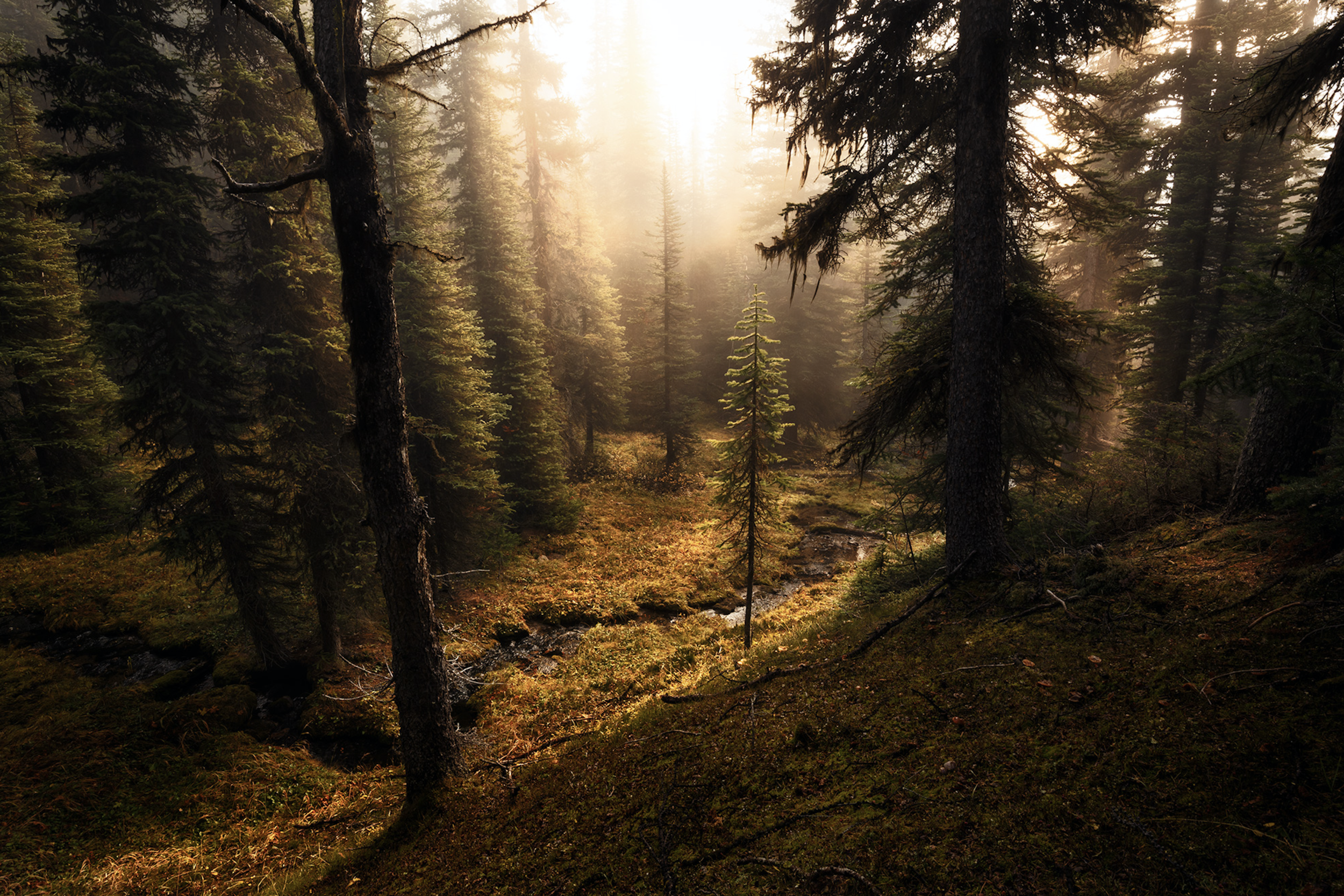
There are several trails that lead to Shadow Lake Lodge. They range in length from 14km (eight miles) to 26km (16 miles). The shortest and most popular follows Redearth Creek from the Trans-Canada Highway to our lodge. Scroll down for more details on summer and winter access.
Location & Access
GPS Coordinates:
51 N 10' 6"
115 W 56' 19"


REDEARTH CREEK (preferred access route)
Distance: 14km
Elevation gain: 440m
Allow: 4 to 5 hours one way
Trailhead: The Redearth Creek parking lot off of the Trans-Canada Highway 19.6km west of the Town of Banff. This is our most popular route into Shadow Lake Lodge. You can hike or bike (10.5km) on the old fire road, and easy-to-follow trail.
From the parking lot, the trail is a gradual climb on a wide, tree fringed dirt road. At the 7km mark, the trail meets the Lost Horse campground and continues on to a signed junction at approximately 10.5km. Turn right (northeast) off of the fire road towards Shadow Lake. All bikes are to be locked at the provided bike rack at this point. The path steepens briefly, then levels out for the last 2.4km to the lodge. This last part of the trip will take you approximately 30 - 40 minutes.
Winter Access: The trail can accommodate cross country skis, snowshoes, backcountry skis, and fat bikes. Bikes are allowed the full distance to the Lodge in the winter (December 15 - March 15). Be mindful of narrow corners, especially on your way out. Please be advised that avalanche paths cross the trail at kilometer 3.3 and 4.4, and there are avalanche paths above the trail between kilometer 6.3 and 8 — do not stop in these areas.
Please note that winter trail conditions are variable.

ARNICA / TWIN LAKES
*Please be advised that this is an alternate route. The standard approach is via Redearth Creek (above).
Distance: 14.0km
Elevation gain: 960m
Allow: 6 to 7 hours one way
Trailhead: Vista Lake Viewpoint, approximately 8.2km south of Castle Junction on Highway 93 South.
This is a very scenic route, starting with a 120m descent to Vista Lake. Then the work begins. The trail is seldom steep, but you never stop climbing until you reach Arnica Lake. Known for its fishing, this is a small but colourful lake of varied greens.
The trail carries on to Upper Twin Lake. You first climb 75m to a narrow pass covered with alpine flowers on the east slope of Storm Mountain. You then descend 160m to Upper Twin Lake, with another descend of 50m to Lower Twin Lake. At this point you cross over the small bridge from the out flow of the lake and start your climb up to Gibbon Pass, 2.9km (note: do not take the trail to the Lower Twin Lake to get to the lodge). At the top of the pass, the trail will then take you down to the lodge.
There is a lot of up and down with this route, but all of it is at a moderate grade.